USGS LANDFIRE National Map Attention Alerts

LANDFIRE

  The National Map LANDFIRE provides a dynamic online map interface that can be used to view USGS datasets that are part of The National Map.
Open with Full Map ExtentsTrouble Downloading?View User Instructions
LANDFIRE Zone Map Legend
Landfire
Please visit www.landfire.gov
for project details.


*NOTE: You must have IE 7 or higher, or Firefox,
to subscribe to RSS


Click here for helpful tools to assist users of LANDFIRE data.

Link to Ecological Systems descriptions for LANDFIRE
vegetation map product legends.


Problems with the LF Data Access Tool? Click here.

Are you using LANDFIRE data? We want your feedback!


The viewer uses extensive JavaScript and frames which means some browsers may not be able to support full interactive capabilities. Additionally, the viewer may be difficult for some users to interpret. These users may contact EROS Customer Services, or the maintainer of these pages for assistance. The viewer will attempt to detect the version of browser in use and the window size and a warning will be given if your browser does not meet minimum or tested specifications.
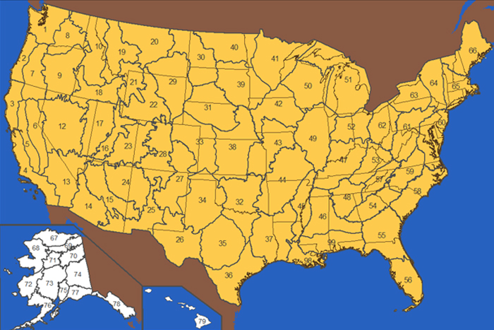
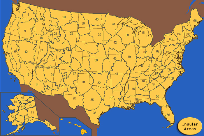
 Browser compatibility information is available in the User Instructions.


Accessibility FOIA Privacy Policies and Notices

U.S. Department of the Interior | U.S. Geological Survey
URL: http://landfire.cr.usgs.gov/viewer/
Page Contact Information: Comments and Suggestions
Page Last Modified: February 2007