Latest News
This page includes a general description of the product, please consult the schedule and version pages for information specific to each release.
LANDFIRE's (LF) Forest Canopy Base Height (CBH) describes the average height from the ground to a forest stand's canopy bottom. Specifically, it is the lowest height in a stand at which there is enough forest canopy fuel to propagate fire vertically into the canopy. CBH unit measurements are meters * 10. These products are provided for forested areas only.
CBH first incorporated Annual Disturbance products during LF 2008 production. The introduction of this information allowed for informed changes to the assigned CBH from disturbance type, severity, and time since the disturbance.
Beginning with LF 2016 Remap, and beyond, an improvement for fuels products in disturbed areas was implemented. Fuels are now adjusted to expected current year vegetation conditions for disturbances that have occurred between certain select years that vary by the version. Making the fuels products “capable to X year fuels” or “capable fuels”. Beginning with LF 2022, capability is implied in the naming convention.
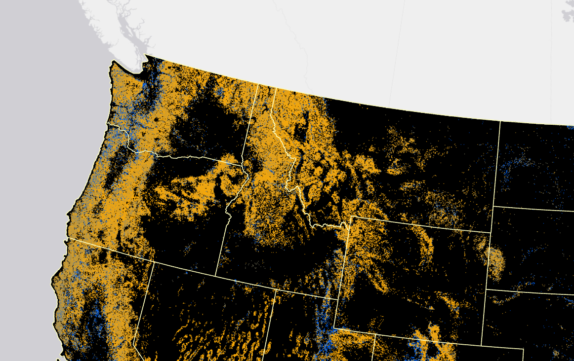
LF 2016 Remap and beyond includes a 90-kilometer buffer along the 1,500 miles of the eastern and southern borders AK shares with Canada. Then with the LF 2020 update, and future updates, for the Conterminous United States (CONUS) a 90-kilometer buffer into Mexico is also included.
CBH provides information for fire behavior models to determine areas in which a surface fire is likely to transition to a crown fire.
Product availability
Attribute Data Dictionary
Comma separated value (CSV) files can be found in the LF Library.
Download DataMetadata: