Latest News
This page includes a general description of the product, please consult the schedule and version pages for information specific to each release.
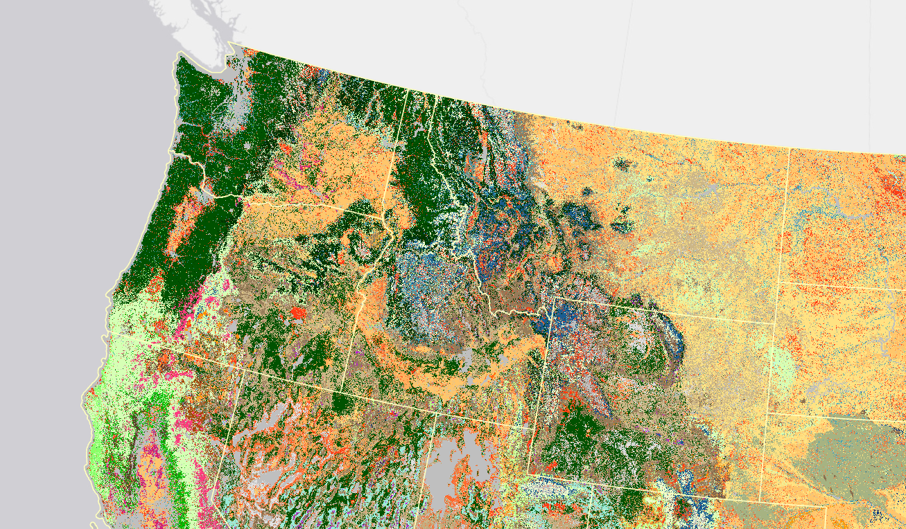
Fuel Characteristic Classification System (FCCS) defines a fuelbed as the inherent physical characteristics of fuel that contribute to fire behavior and effects (Riccardi and others 2007). A fuelbed can represent any scale or precision of interest. In FCCS, fuelbeds represent the structure and composition of wildland fuels and can accommodate a wide range of fuel characteristics in six horizontal fuel layers called strata (Ottmar and others 2007).
FCCS summarizes and classifies wildland fuel characteristics and can also be used to predict surface fire behavior, crown fire potential and available fuel for estimating consumption, fire effects, and emissions.
The fundamental component of the FCCS, the fuelbed, is the mapping unit in the FCCS. The LF FCCS is delivered with attributes summarized from the FCCS calculator for each fuelbed, including name and fuel loading information in tons per acre. This information can be used for fire behavior and fire effects estimations.
Consume Input Tables are formatted for use in the Consume 4.2 calculator embedded in the FFT software. Fuel loading units are in tons per acre and can be used in the command line version of Consume. This table can be used in conjunction with the FCCS in a mapping program.
First Order Fire Effects Model (FOFEM) Input Tables provide fuel loading values summarized for use in the general FOFEM calculator. The file is not formatted for use in the FOFEM batch feature in the program. Fuel loading units are tons per acre and with additional fuel moisture and site descriptors this file can be adapted to work in the FOFEM batch function. This table can be used in conjunction with the FCCS in a mapping program.
Beginning with LF 2016 Remap, and beyond, an improvement for fuels products in disturbed areas was implemented. Fuels are now adjusted to expected current year vegetation conditions for disturbances that have occurred between certain select years that vary by the version. Making the fuels products “capable to X year fuels” or “capable fuels”.
LF 2016 Remap and beyond includes a 90-kilometer buffer along the 1,500 miles of the eastern and southern borders AK shares with Canada. Then with the LF 2020 update, and future updates, for the Conterminous United States (CONUS) a 90-kilometer buffer into Mexico is also included.
FCCS Disturbance Transition Database

Comma separated value (CSV) files can be found in the LF Library.
Download DataMetadata: