Latest News
This page includes a general description of the product, please consult the schedule and version pages for information specific to each release.
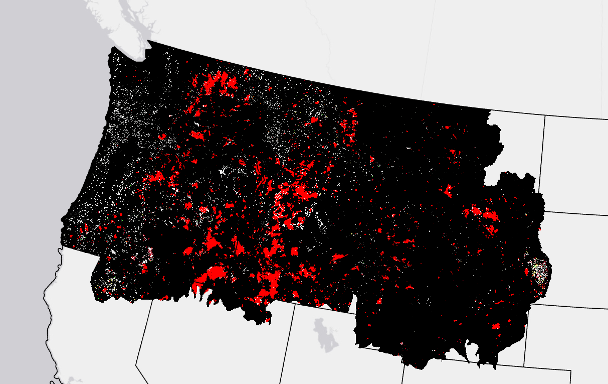
LANDFIRE (LF) disturbance products are developed to provide temporal and spatial information related to landscape change. Historical Disturbance (HDist) is developed from the base LF Disturbance products (and attribute code system) to represent the 'history of disturbance' for a 10-year span. Each year's disturbance scenarios are checked against time relevant LF vegetation to check for logical inconsistencies. Errant disturbance codes are flagged and updated to a discard code with the remaining disturbance codes cross walked to Fuel Disturbance (FDist) codes. HDist development involves a comprehensive review of fuel and disturbance attributes.
Starting with LF 2016 Remap, and beyond, HDist replaces Vegetation Disturbance from previous LF versions incorporating pre-disturbance vegetation logic (based on disturbance year and vegetation type).
LF 2016 Remap and beyond includes a 90-kilometer buffer along the 1,500 miles of the eastern and southern borders AK shares with Canada. Then with the LF 2020 update, and future updates, for the Conterminous United States (CONUS) a 90-kilometer buffer into Mexico is also included.
LF uses HDist in the development of several subsequent layers, including the FDist product.
Product availability
Attribute Data Dictionary (2.3.0)
Comma separated value (CSV) files can be found in the LF Library.
Download DataMetadata: