Latest News
This page includes a general description of the product, please consult the schedule and version pages for information specific to each release.
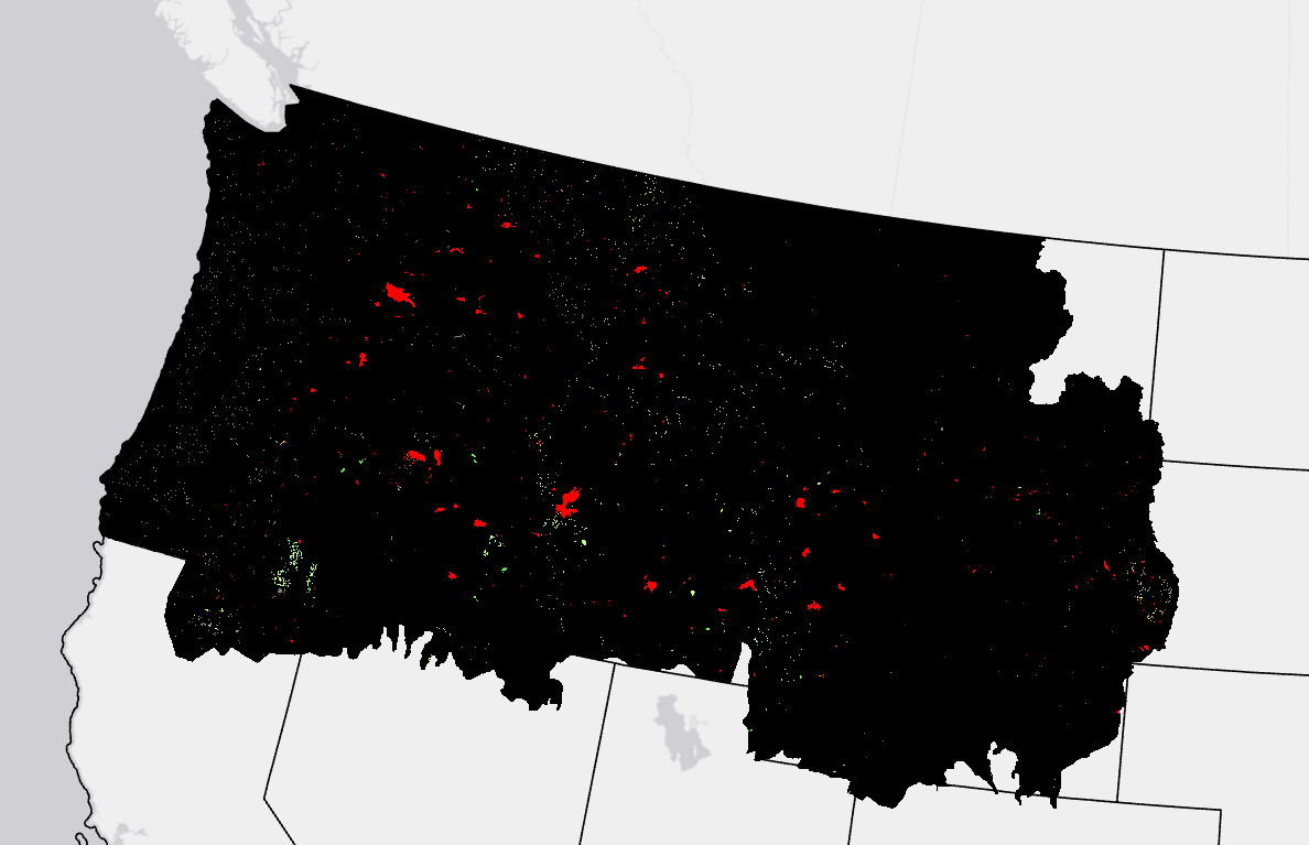
LANDFIRE (LF) Annual Disturbance (Dist) products depict where change occurred on the landscape, both spatially and temporally, on an annual basis. These products inform model vegetation transitions to provide updates to LF vegetation, fuel, and fire regime products.
Disturbance products are developed by combining fire program data (e.g., Monitoring Trends in Burn Severity (MTBS)), cooperator-provided field data via the LF Events Geodatabase, and change detection methods using Landsat imagery.
Annual Disturbance products are attributed with disturbance year, type, and severity. These products are applicable in several areas of research and management such as landscape change, habitat gain/loss, carbon stock change, vegetation restoration, and more.
LF 2016 Remap and beyond includes a 90-kilometer buffer along the 1,500 miles of the eastern and southern borders AK shares with Canada. Then with the LF 2020 update, and future updates, for the Conterminous United States (CONUS) a 90-kilometer buffer into Mexico is also included.

Final Annual Disturbance (Dist)
Supporting Material
The Spatially Adaptable Filter for Error Reduction (SAFER) Process: Remote Sensing-Based LANDFIRE Disturbance Mapping Updates
Methods used to mitigate data gaps in LF 2012 and beyond.
LANDFIRE 2023 Update: 4 seasons of satellite imagery
A LANDFIRE Disturbance explained
Disturbance: Tornado Outbreak in Kentucky: December 2021
LANDFIRE Responds and Completes the Picture: Improving Disturbance and Downstream LANDFIRE Products
Annual Nationwide Remote Sensing of Disturbance for LANDFIRE (2021)
Resources
LDist Attribute Data Dictionary
Comma separated value (CSV) files can be found in the LF Library.
Download DataCurrent Metadata:
Beginning with the LF 2022 Update and onward into the future, near the end of the calendar year we are re-collecting disturbance events from LANDFIRE partners to capture and identify even more disturbances. For LF 2022, LANDFIRE added 6.5 million acres of disturbance events data to the LF Public Raw Events product upon re-collection. For a grand total of ~28 million acres of Raw Events data featured within the LF 2022 Update. The Annual Disturbance products will be "evolving" to reflect these additions more clearly in calendar year 2024 and beyond.