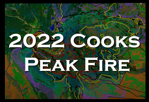
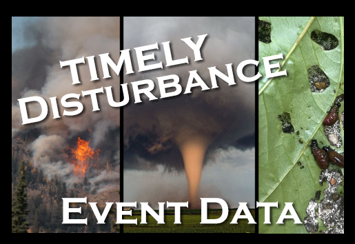
Pictures of what the LF program incorporates with the LANDFIRE logo on the left and USFS and DOI on the right
LANDFIRE - multi-partner wildland fire, ecosystem, and wildland fuel mapping project USFS DOI
Maintenance
The LANDFIRE website and viewer will be intermittent between 6:00 pm and 10:00 pm CST on Thursday November 30, 2023 due to required maintenance. We apologize for any inconvenience caused by this interruption.
[Skip to Content]
  Button for Who Are We
 

LANDFIRE (LF)


Data Products:Reference  ∕  Disturbance  ∕  Vegetation  ∕  Fuel  ∕  Fire Regime  ∕  Topographic  ∕  Who are We
     Notifications Alerts

Latest NewsLatest News

Get Data

The LF Program provides 25+ national geo-spatial layers (e.g. vegetation, fuel, disturbance, etc.), databases, and ecological models that are available to the public for the U.S. and insular areas.

picture of satellite with comment about what is released for lf 2022

Full CONUS is now released for LF 2022

Learn More
3 boxes with lf imagery asking what why and how

LANDFIRE Factsheet

The only thing you need to read to learn what LANDFIRE is about.

Learn More
a picture of the US with the southern portion highlighted in yellow

Fall MoD-FIS

MoD-FIS modulates fuel model data by incorporating seasonal variability of herbaceous cover.

Get Data
Picture showing what work LANDFIRE does

More than fire

LF is important to wildland fire management
and supports more than fire.

Learn more

 
Users may experience intermittent service Thursday evenings due to routine maintenance.
The LF Map Viewer (DDS) will be down every 3rd Wednesday from 8 am - 10:00 am (CDT) for routine maintenance.
URL: https://www.landfire.gov/
To view and print a PDF you must obtain and install the Acrobat® Reader, available at no charge from Adobe Systems.
*DOI and USGS link and privacy policies apply.
Looking for something: Site Map   /   Search
Page Contact Information: LF Helpdesk